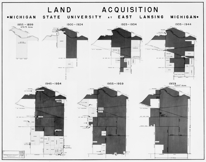
A map of land acquisitions between 1855-1959
Back click image to zoom
Creator: Trojgnek, R.
Subjects: Maps
Description: A map of land acquisitions of MSU between 1855-1959. Text on the image: "Land acquisition Michigan State University at East Lansing Michigan [shows land acquired from 1855-1959]."
Date: 1959
Format: Image/jpg
Original Format: Black and white photograph
Resource Identifier: A000505.jpg
Language: English
Rights Management: Educational use only, no other permissions given. Copyright to this resource is held by Michigan State University and is provided here for educational purposes only. It may not be reproduced or distributed in any format without written permission of the University Archives & Historical Collections, Michigan State University.
Contributing Institution: University Archives & Historical Collections
Relation: MSU Photograph Collection
Contributor: MSU Archives and Historical Collections
Request a Reproduction


